🎉 Up to 70% Off Selected ItemsShop Sale
Children's Picture Atlas
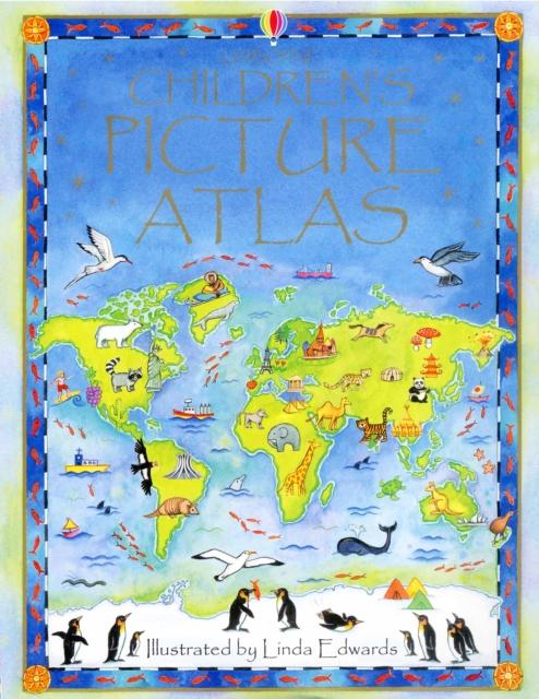
This picture atlas takes young readers on a visual journey around the world, from the hot plains of Africa, to the frozen tundra of the Artic. Detailed pictorial maps reveal the richness and diversity of human and animal life around the world. Each map shows the countries, their capital cities, most famous landmarks, longest rivers and highest mountains, while picture stories supplement the maps. It provides a simple introduction to maps, world culture and geographical concepts for pre-school children.
$4.74
Original: $13.54
-65%Children's Picture Atlas—
$13.54
$4.74Children's Picture Atlas
This picture atlas takes young readers on a visual journey around the world, from the hot plains of Africa, to the frozen tundra of the Artic. Detailed pictorial maps reveal the richness and diversity of human and animal life around the world. Each map shows the countries, their capital cities, most famous landmarks, longest rivers and highest mountains, while picture stories supplement the maps. It provides a simple introduction to maps, world culture and geographical concepts for pre-school children.
Product Information
Product Information
Shipping & Returns
Shipping & Returns
Description
This picture atlas takes young readers on a visual journey around the world, from the hot plains of Africa, to the frozen tundra of the Artic. Detailed pictorial maps reveal the richness and diversity of human and animal life around the world. Each map shows the countries, their capital cities, most famous landmarks, longest rivers and highest mountains, while picture stories supplement the maps. It provides a simple introduction to maps, world culture and geographical concepts for pre-school children.